
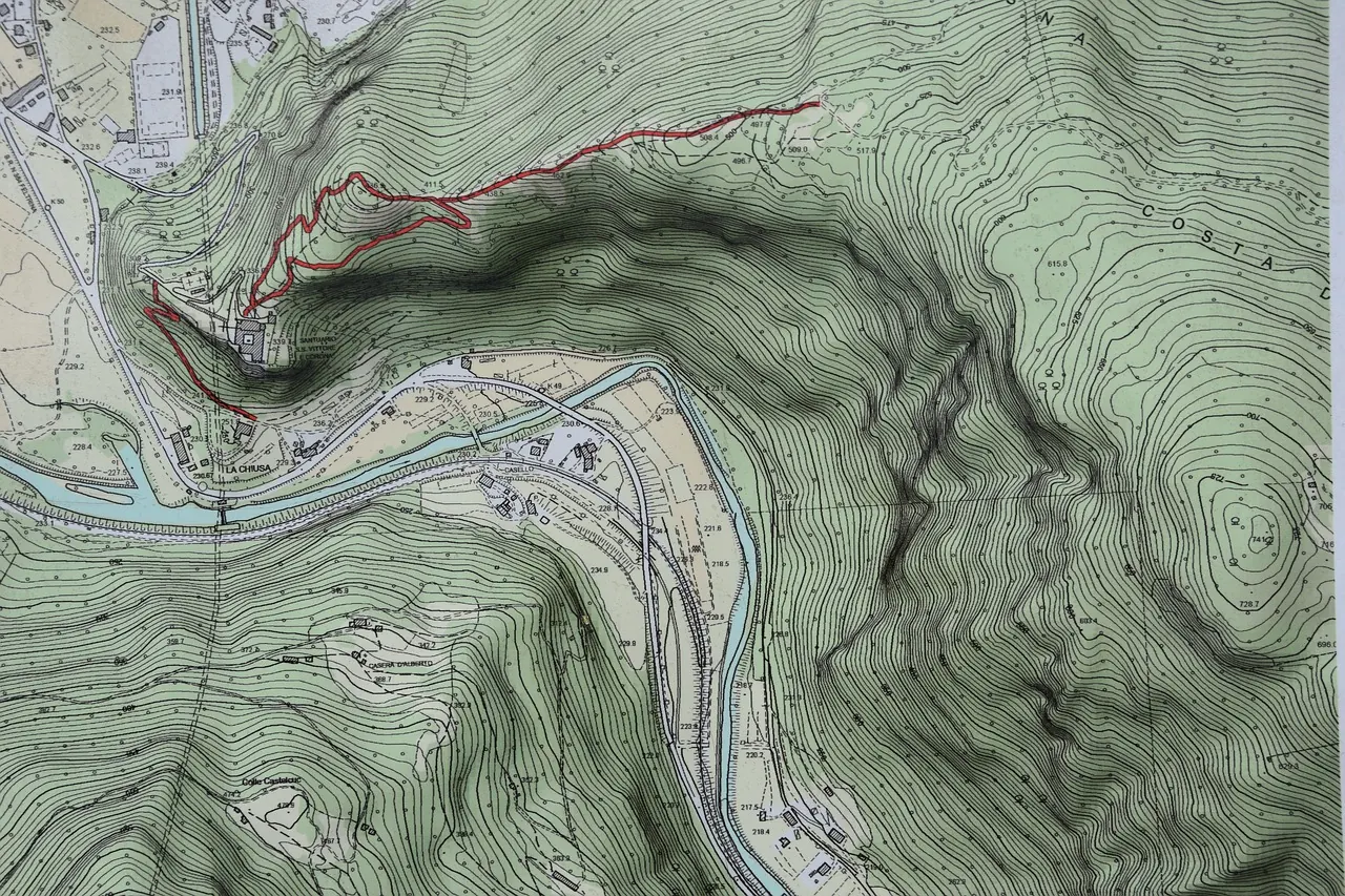
Topographical and Boundary Surveys in Uganda
Our topographical and boundary surveys in Uganda map levels, contours and boundaries so your building, road or estate is designed for the real ground.
Design for the land you actually have
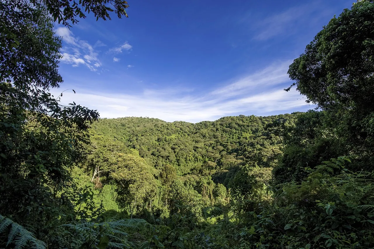
Super Bis Limited carries out topographical and boundary surveys in Uganda as part of our engineering services. Many plots around Kampala and Wakiso sit on hillsides, and in western Uganda slopes are steeper still. Without accurate levels, designs can end up with deep cuts, failed drainage or buildings that sit awkwardly on the site.
Our surveys give architects and engineers the information they need to design foundations, access roads, drainage and landscaping correctly.
What our surveys capture
- Spot levels and contour lines
- Boundaries and beacons
- Existing buildings, walls and fences
- Trees, drains, roads and access points
- Power lines and other services
- Site sections for design
How we carry out a topographic survey
- PlanWe agree the area, detail and purpose of the survey.
- MeasureSurveyors capture levels and features across the site.
- ProcessData is processed into contours and a digital site plan.
- DeliverYou and your designers receive drawings ready for design work.
For architects and engineers
Our design team uses topographic surveys to place buildings, plan levels and design drainage.
For estates and roads
Larger sites need surveys for road layouts, subdivision and earthworks planning.
What affects the cost of a topographic survey
- Site area and level of detail required.
- Terrain: steep or overgrown sites take longer to survey.
- Deliverables: contour plans, sections or digital models.
- Combined boundary work if boundaries also need confirming.
Topographic surveys complement our land surveying services and are the first step for landscaping and paving design.
Topographical and Boundary Surveys FAQs
What does a topographic survey show?
It shows the shape of the land: spot levels and contours, plus features such as trees, buildings, roads, drains, power lines and boundaries. Architects and engineers use it to design buildings, drainage and access.
Why do sloping sites need a topographic survey?
On sloping land, levels decide where the building sits, how deep foundations go, whether retaining walls are needed and how rainwater will flow. A topographic survey prevents costly surprises.
Is a boundary survey different from a topographic survey?
Yes. A boundary survey confirms legal boundaries, while a topographic survey maps levels and features. We often do both together.

Planning to build on a sloping site?
Tell us the location and size of the site and we will quote for a topographic survey.